What Is the Map Trying to Say?
Article: Geopoetic, Mohammed Abdallah altrhuni
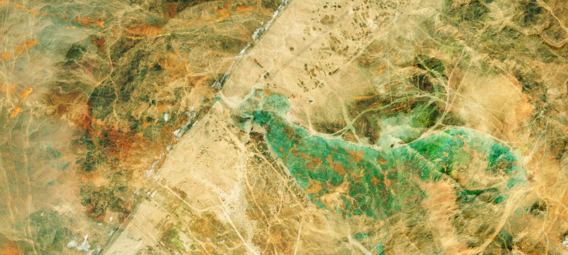
A map is a tool for identifying directions, places, and borders. With a single glance at a map of Libya, you can see the entire desert; the mountains, the plains, and the valleys. With a single glance, you can see 1,760,000 square kilometers. The word ‘map’ is derived from the Latin word charta, which means “paper.” A map is merely a piece of paper, yet it evokes a profound echo within our souls of the land we inhabit. It can stir in us emotions, thoughts, and sensations, and from this perspective, it can be considered a cultural entity.
No one asks themselves: Is the map an exact replica of the land? Is the map of Libya truly Libya itself? The map does not lie, and we breathe deeply as we gaze upon those lines that draw the borders, and upon those lines that trace the paths and trails through the valleys. A map is a place for wandering and journeying into the unknown. It condenses our relationship with place, and invites us to see, hear, touch, smell, and taste things. As we look at the topography on the map, we think of it as a space that cannot be seen, but this does not mean our relationship with it isn’t intimate; it is part of a perceived, known homeland that easily takes shape in our hearts.
There is another geography, another daily map. When we are born, we are at point zero spatially. With time, this place is symbolically appropriated, becoming a part of your identity—the name of the place where you were born. On the grand map, the place is Libya, and on the map of daily life, for me, it is the Sabri district. In adolescence, Sabri was the world, the central hub of all comings and goings. And just like on the grand map, the district had clear, agreed-upon boundaries that mapped the lines of enmities and friendships: to the west were the Haddash market and the Al-Wasaa, to the east the Al-Zarareeqa, to the south Hamid’s shops, and to the north, the sea. I had a sense of space created by these precisely drawn boundaries. The sea alone was a space for leisure, shared by all the areas of the small realm of Sabri.
In Sabri, there is a geographical order that aligns with the daily routine of its inhabitants; it is a self-contained microcosm, isolated from the rest of the city. No one thinks about the grand map except on national holidays. No one thinks of moving from continent to continent, or from city to city; almost everyone in the district had chosen a geography of isolation, interacting only with the available environment. Palm trees were part of daily life. These trees were stuck in a state of spatial stillness, and the people, too, were stuck in this district without contemplating an alternative.
Our geography lessons in school did not stimulate our imagination to go anywhere; it was an academic subject devoid of anything that motivated us to move. Our imagination moved in the temporal dimension, not the spatial one; we were always in “Once upon a time,” in the ancient past. Time brings us back to a prior memory in the same place. The maps did not make us feel envy or sadness; memories alone were our dense reference point. The school’s geography spoke about the topography of Libya, not about the intensification of being with Libya. And thus, the geography class was referential, not inventive; it was not a geography that broke our chains or sparked our imagination. Therefore, the map of Libya hung on the wall, but we often overlooked the fact that it was a map of our own country.
Mohammed Altarhuni
Writer and researcher
Share now: