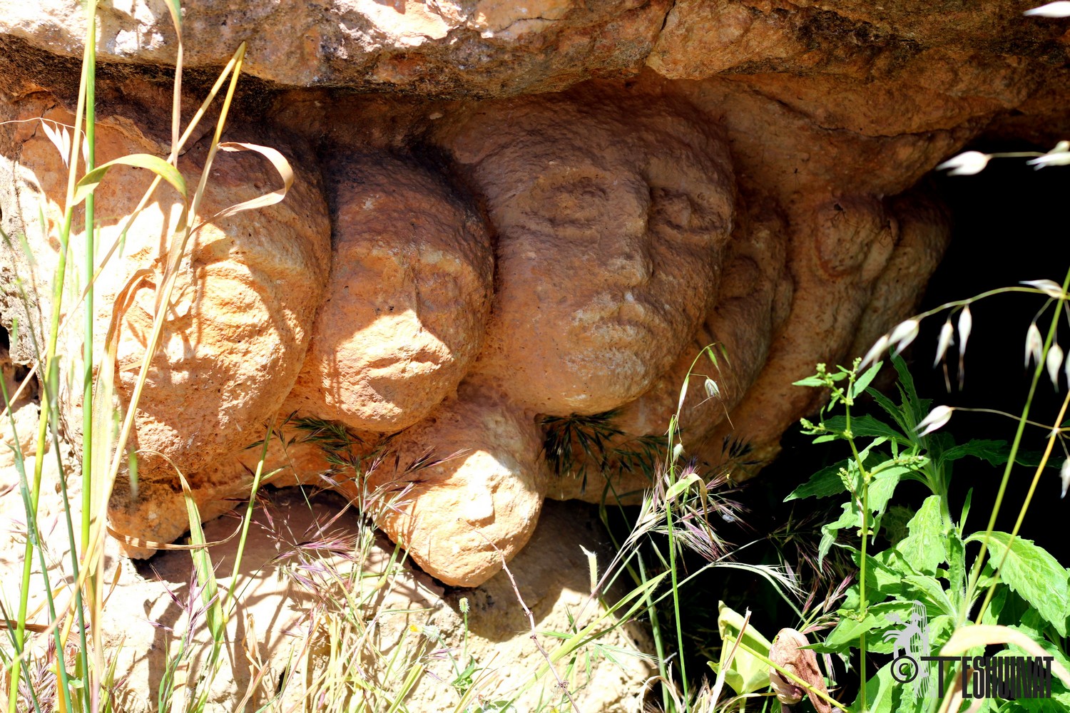
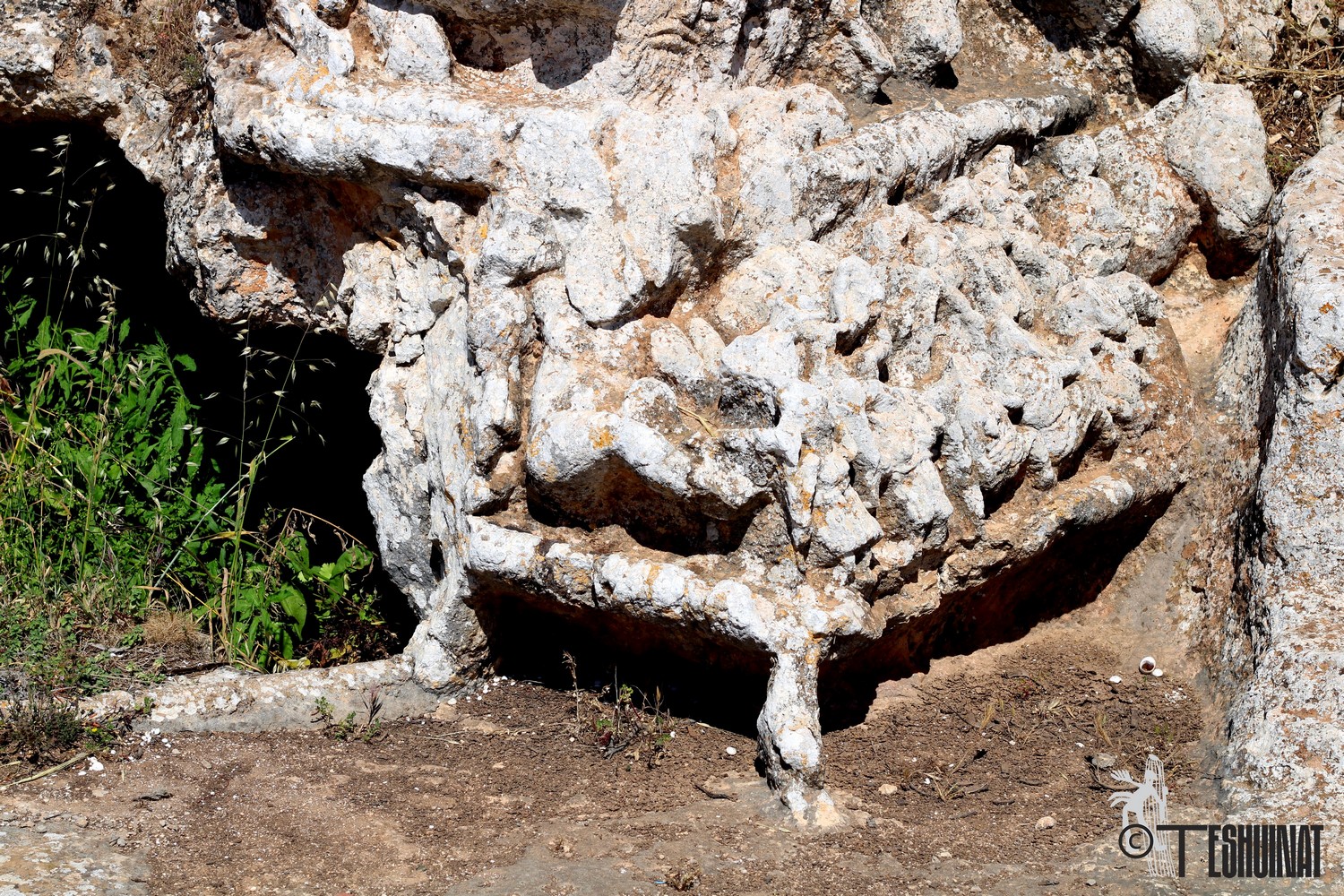
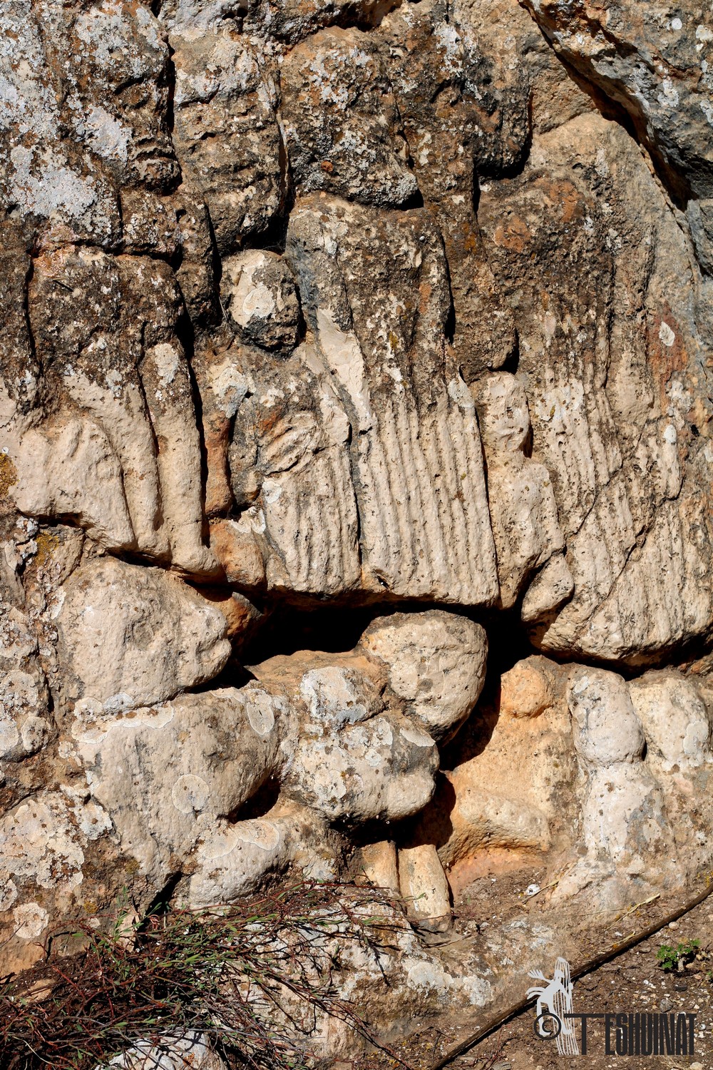
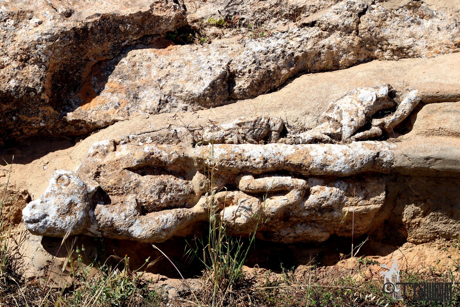
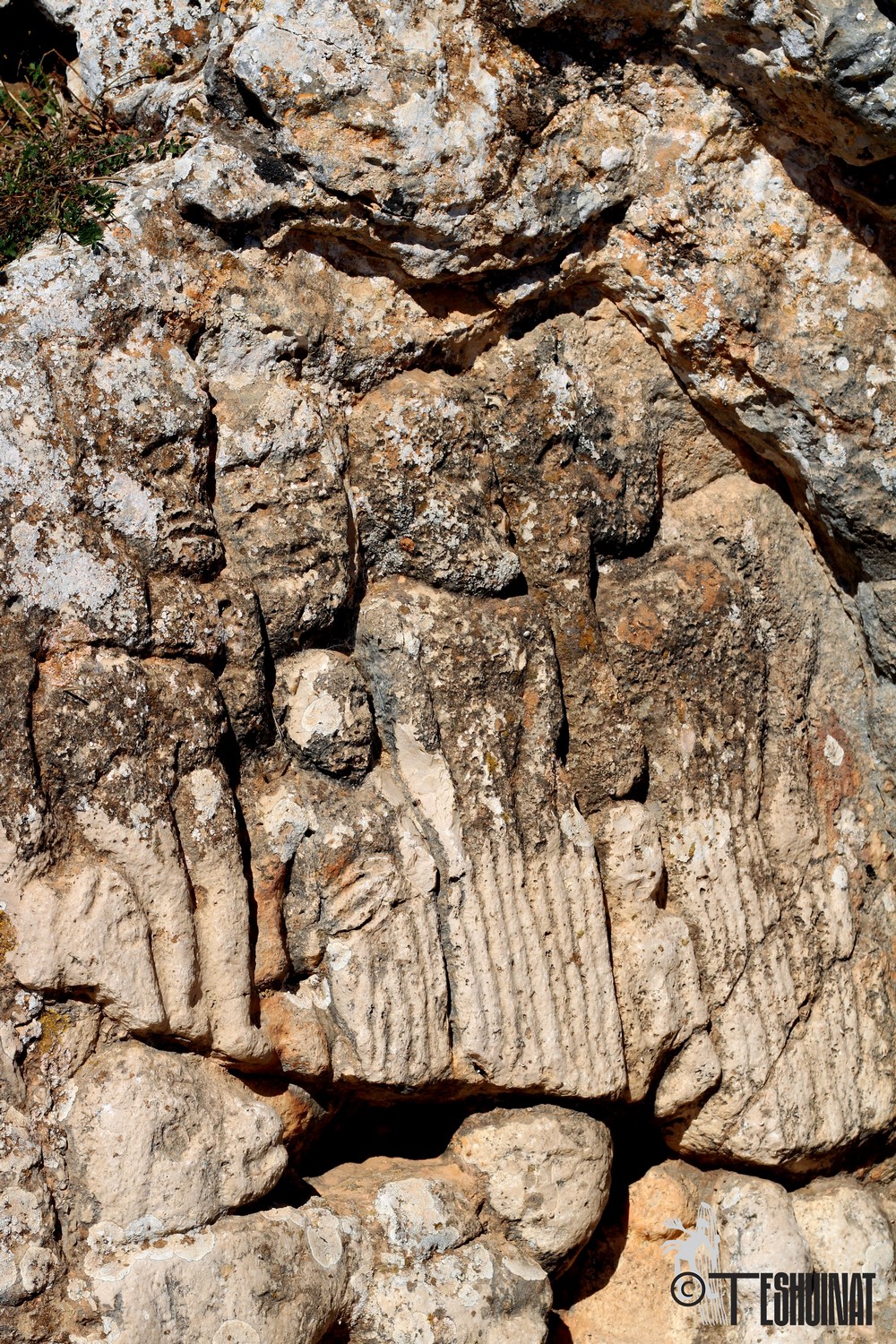
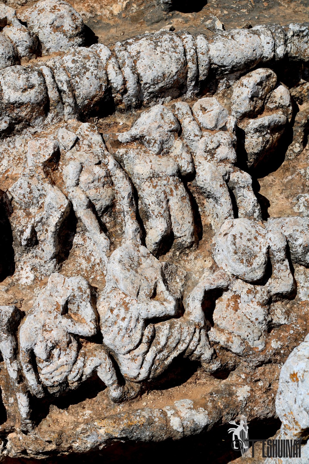
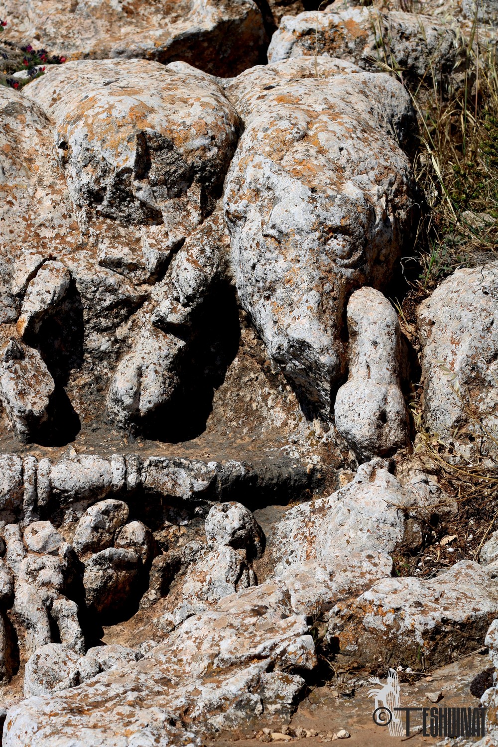
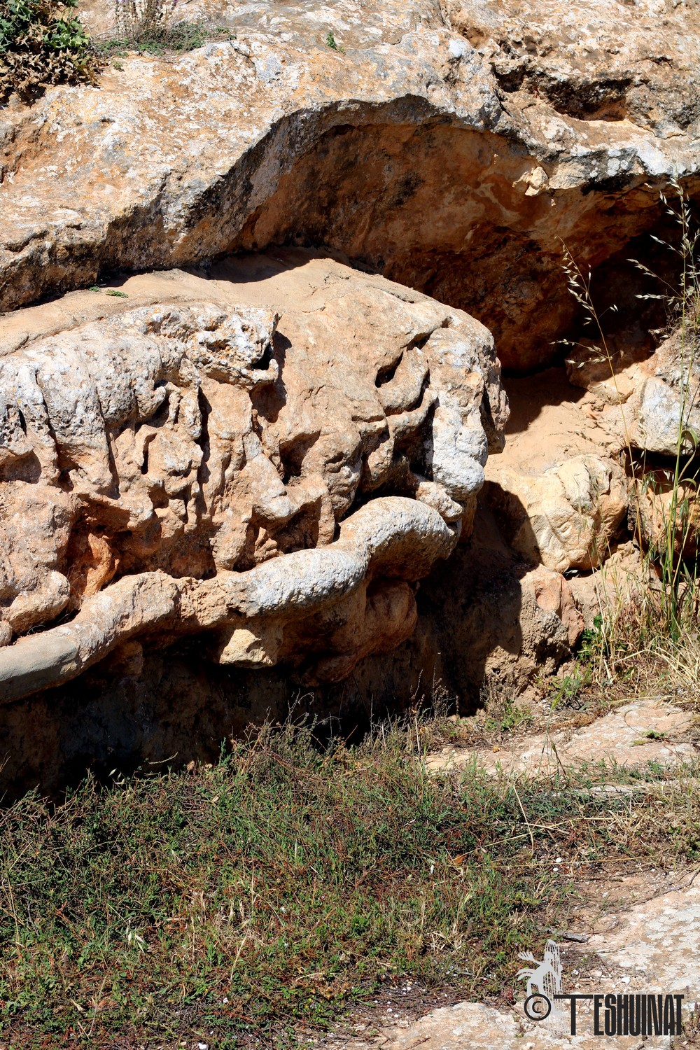
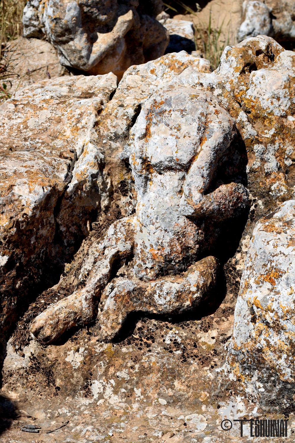
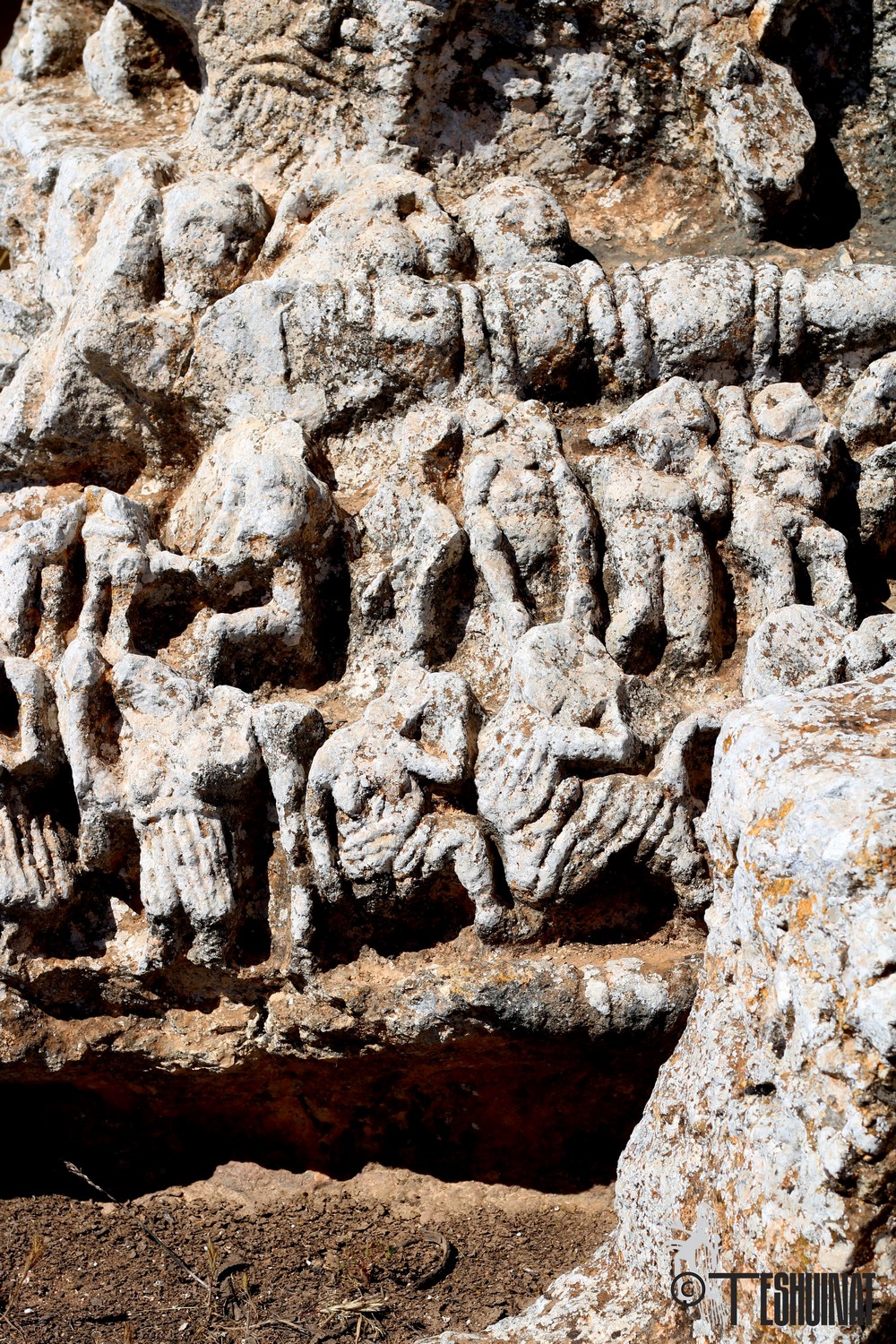
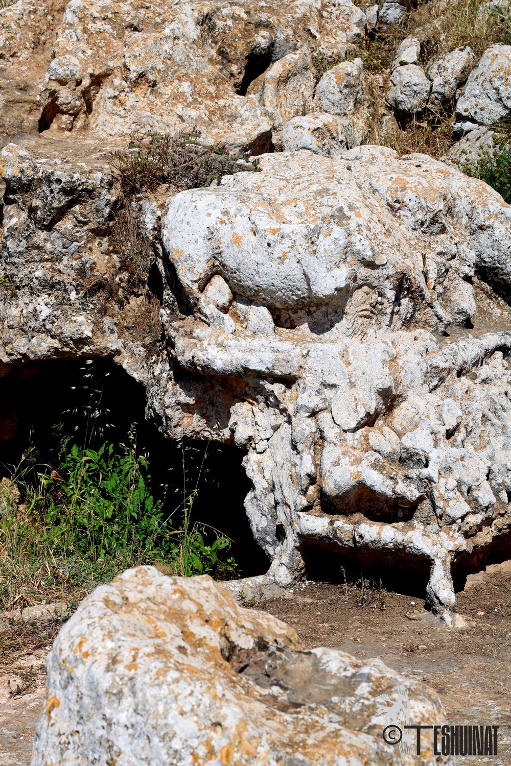
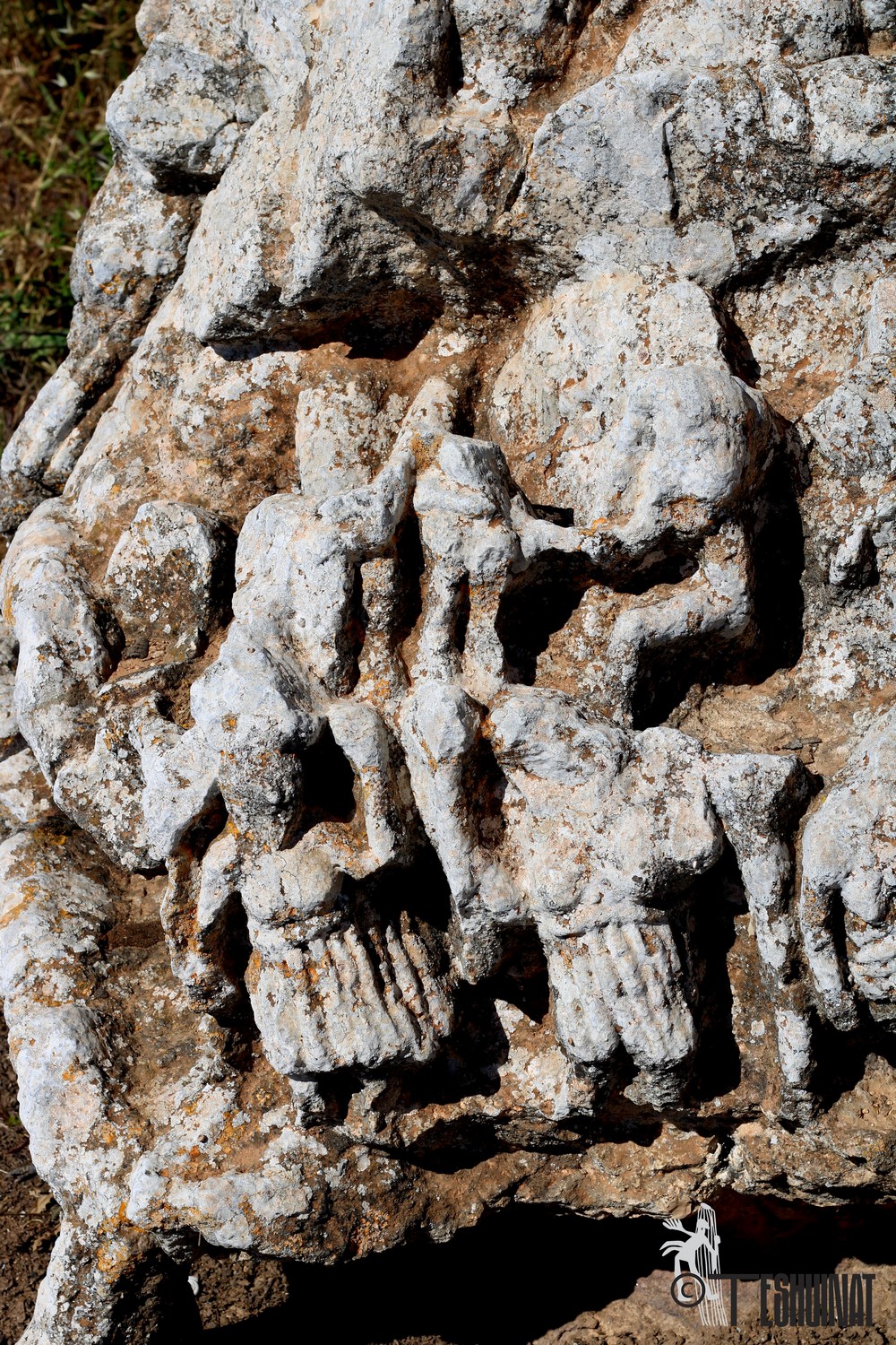
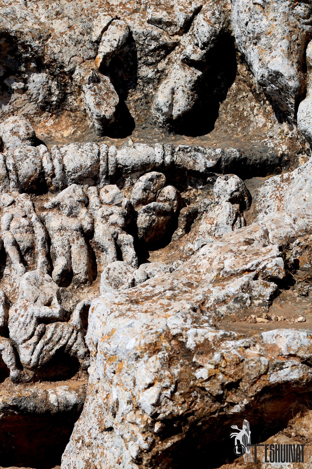
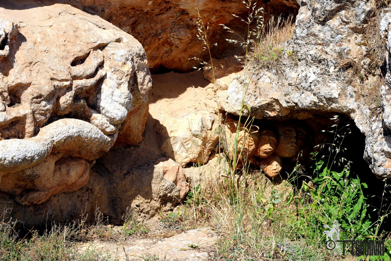
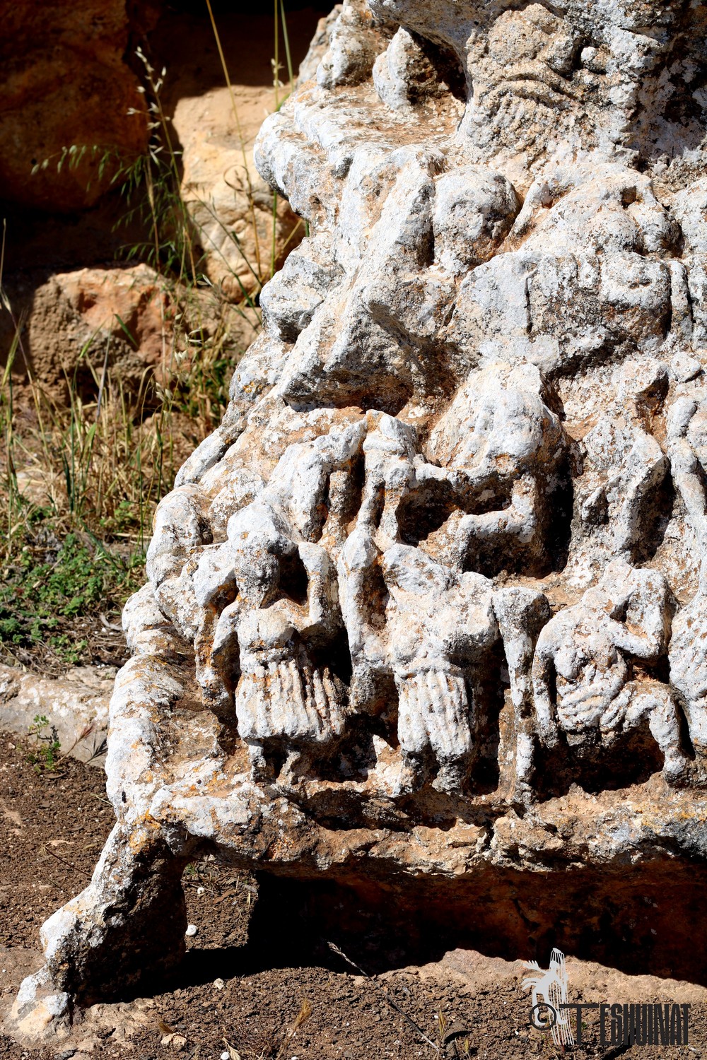
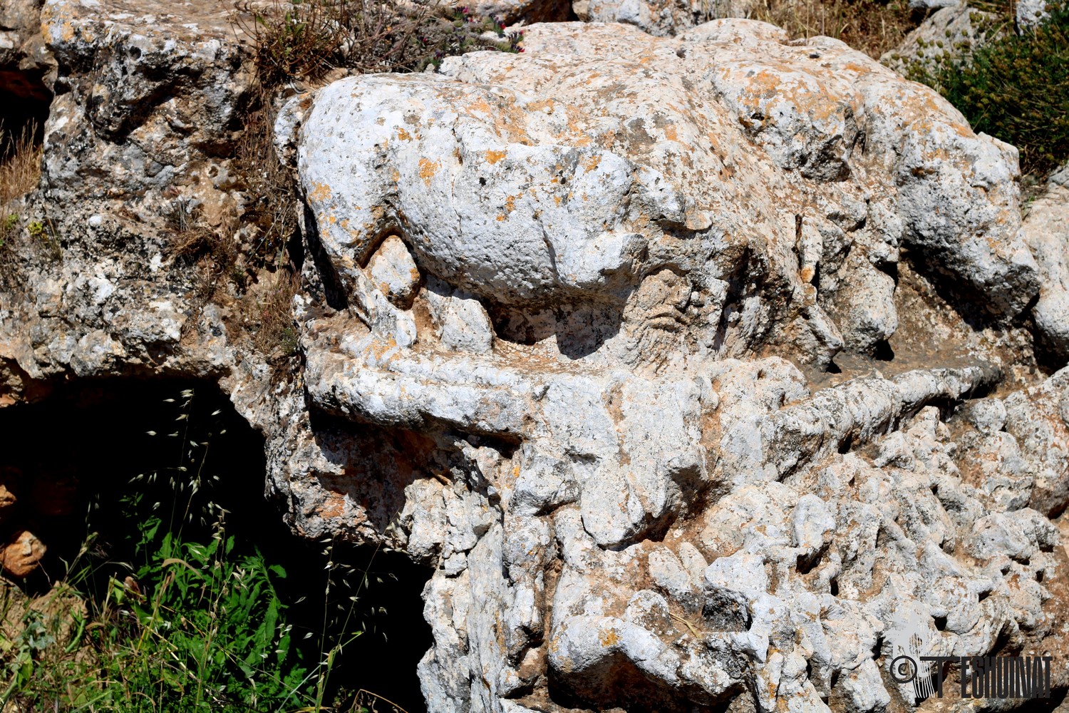
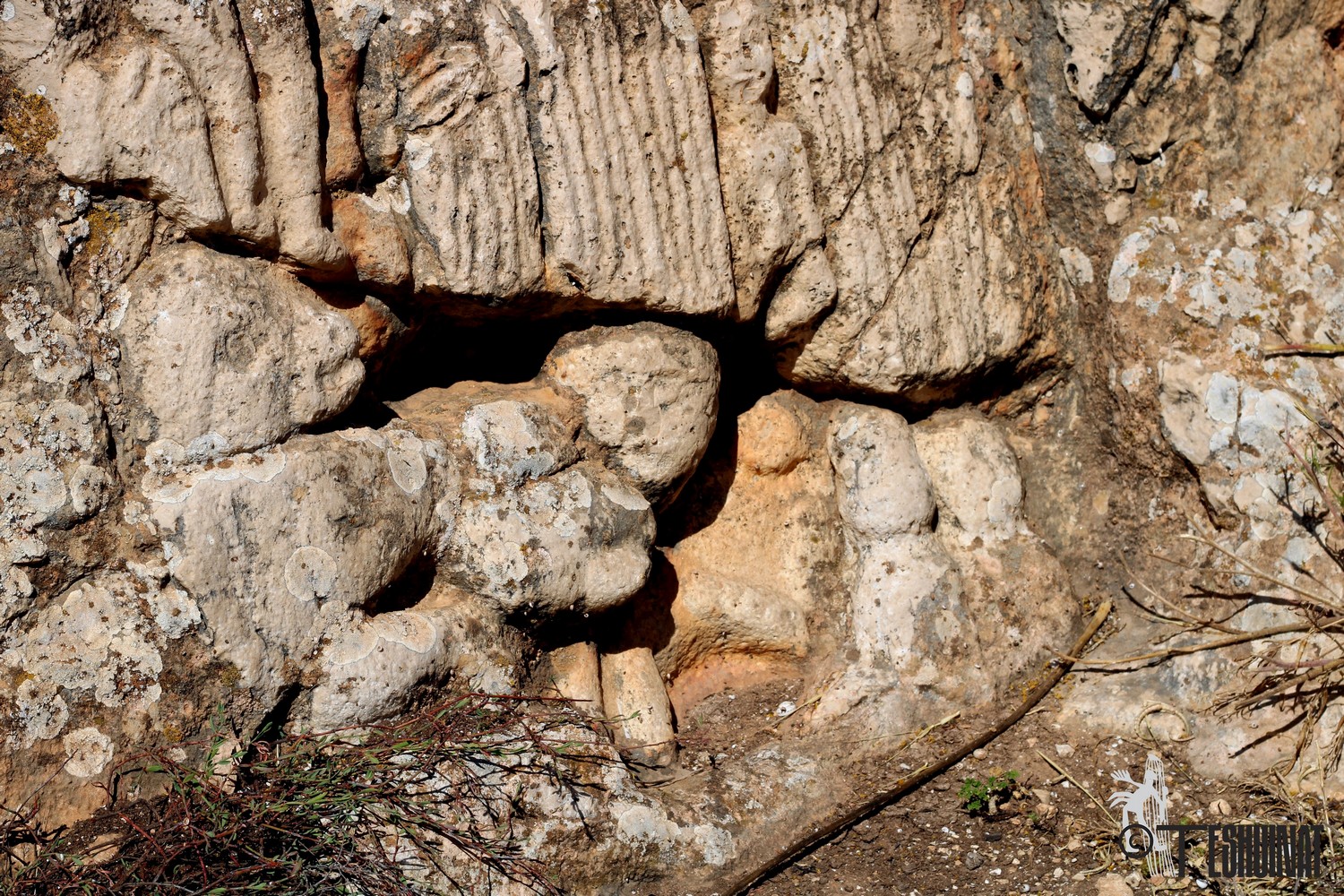
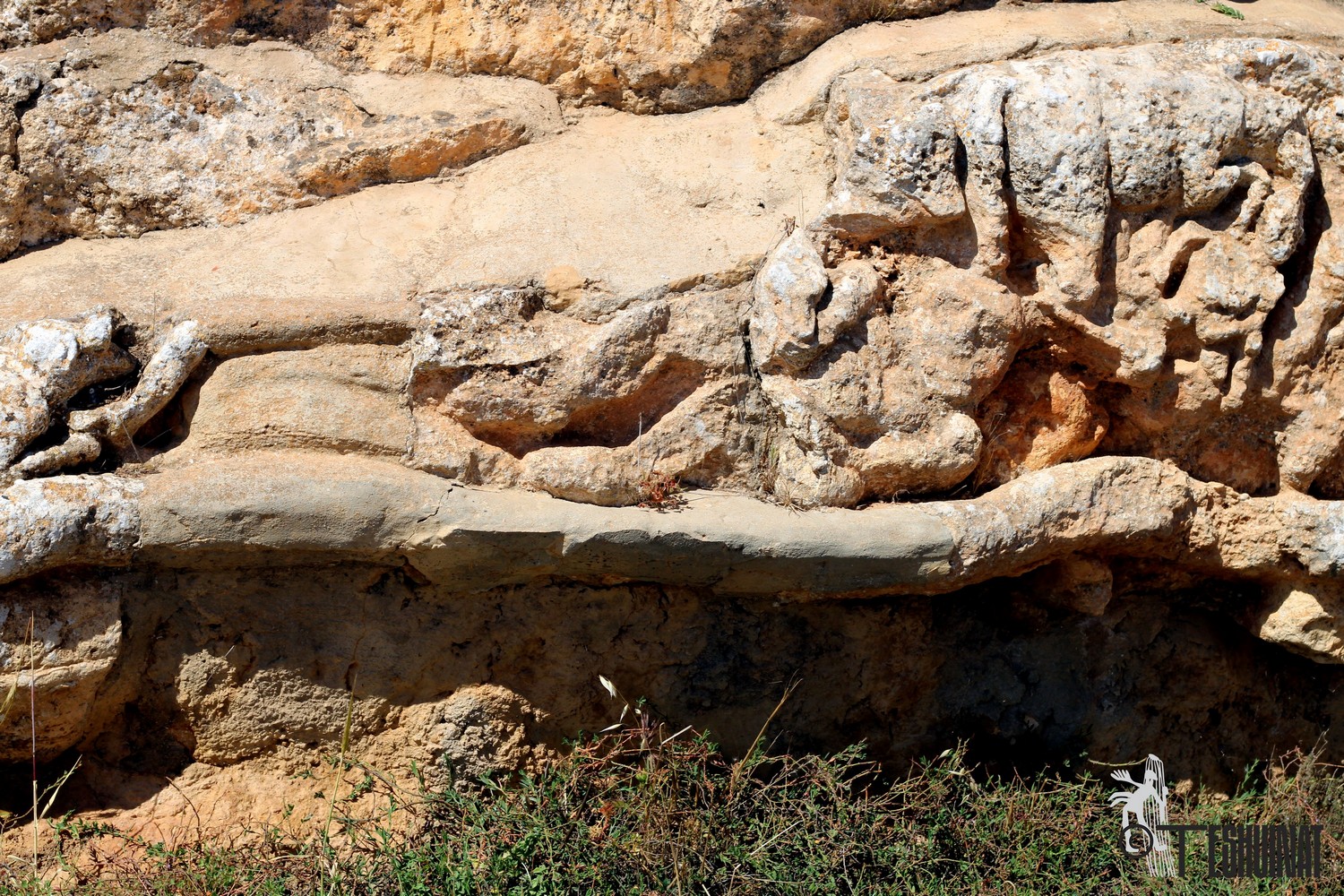
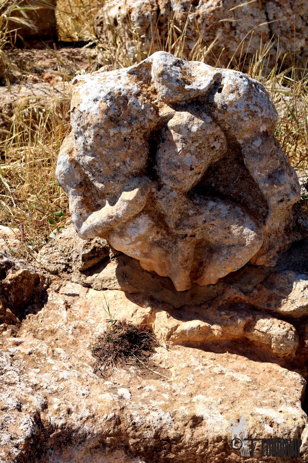
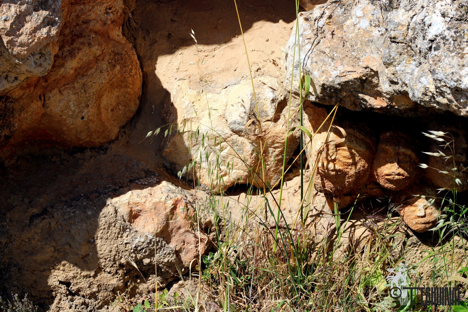
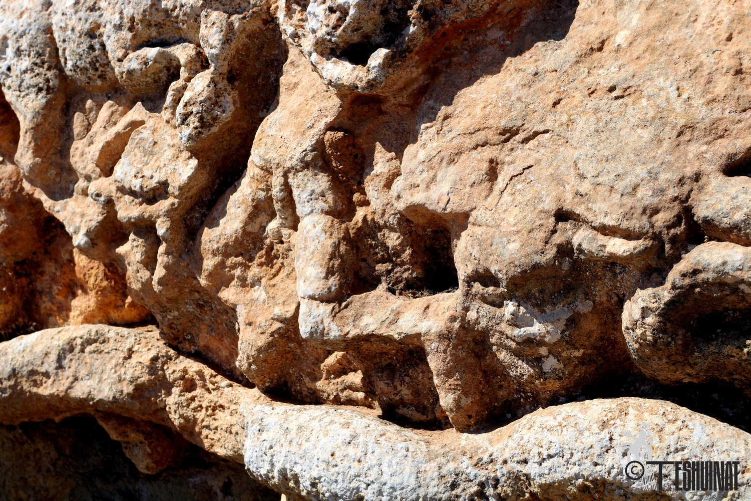
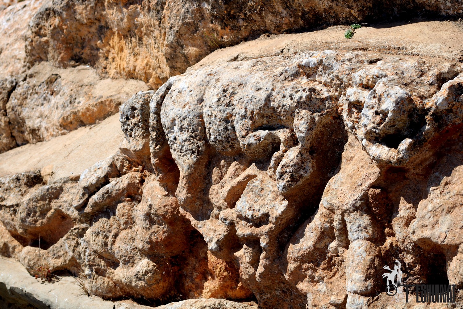
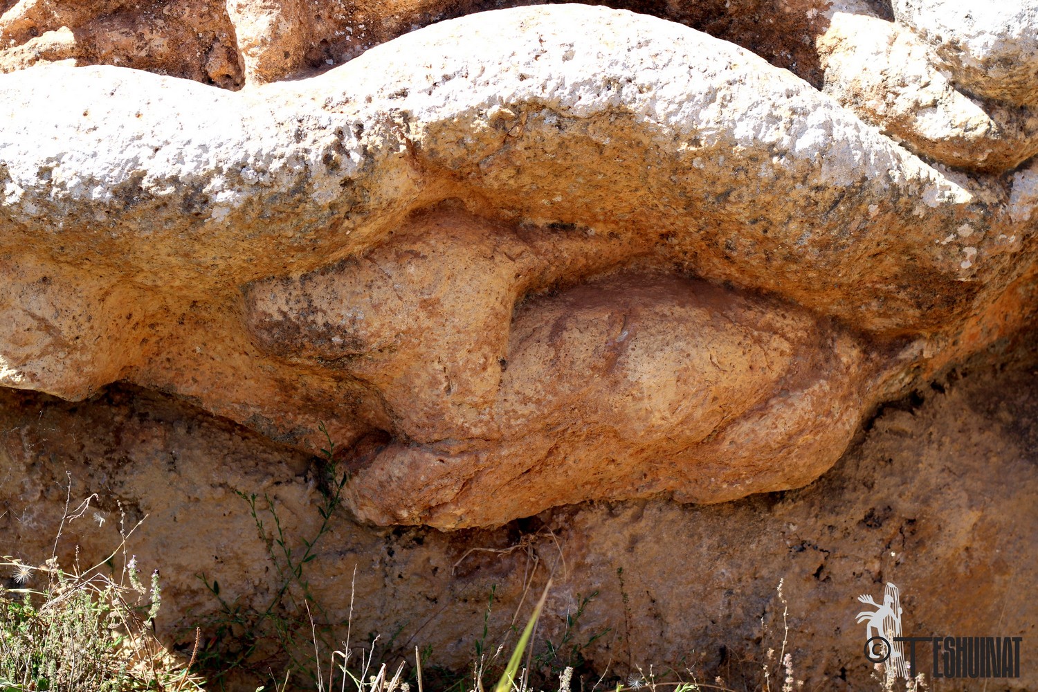
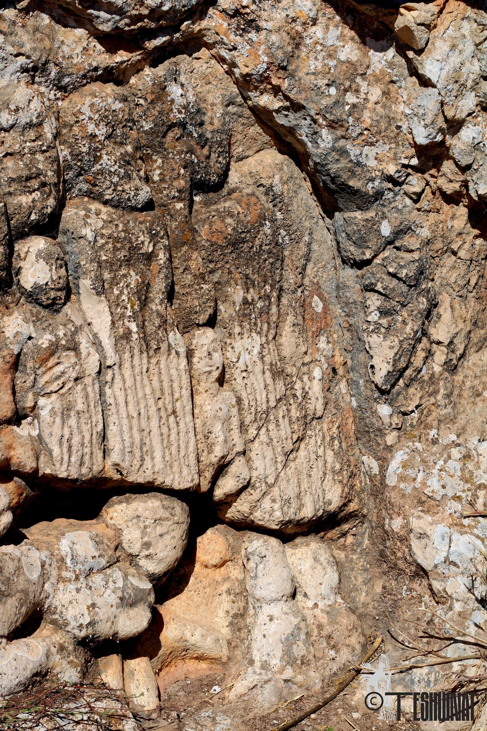
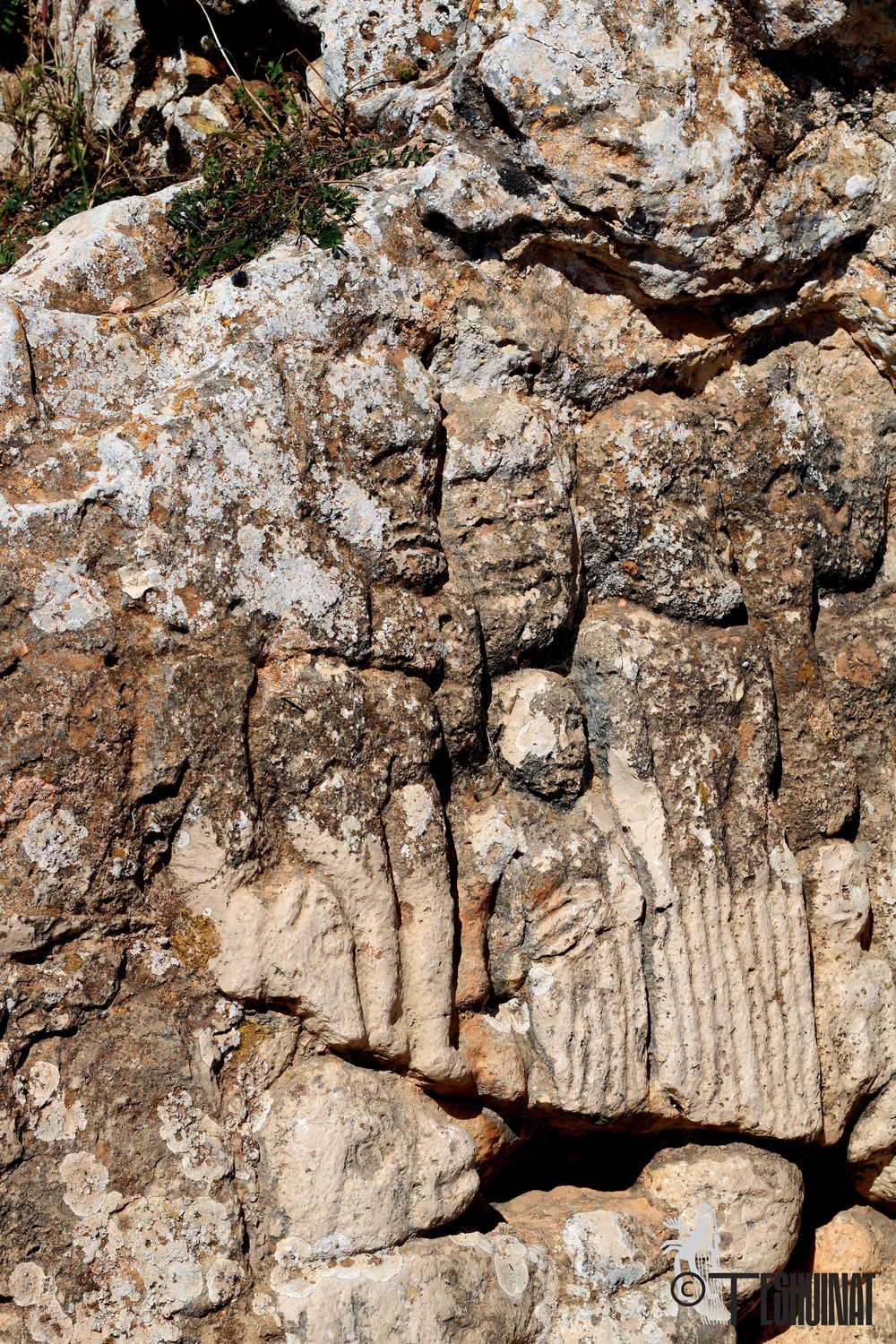
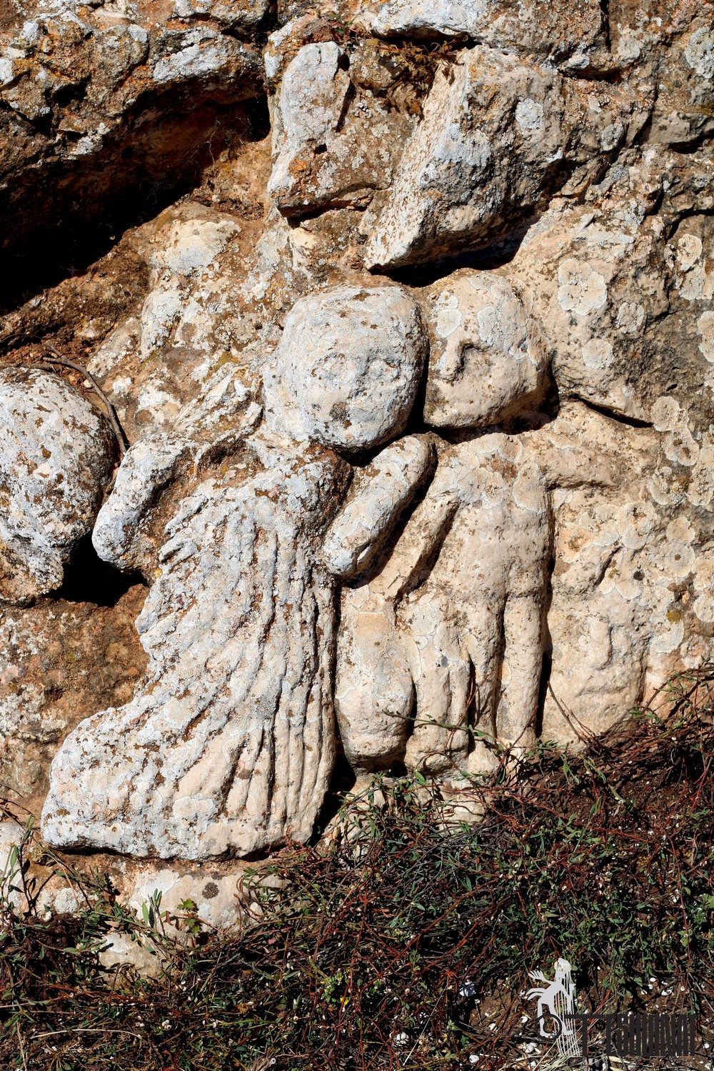
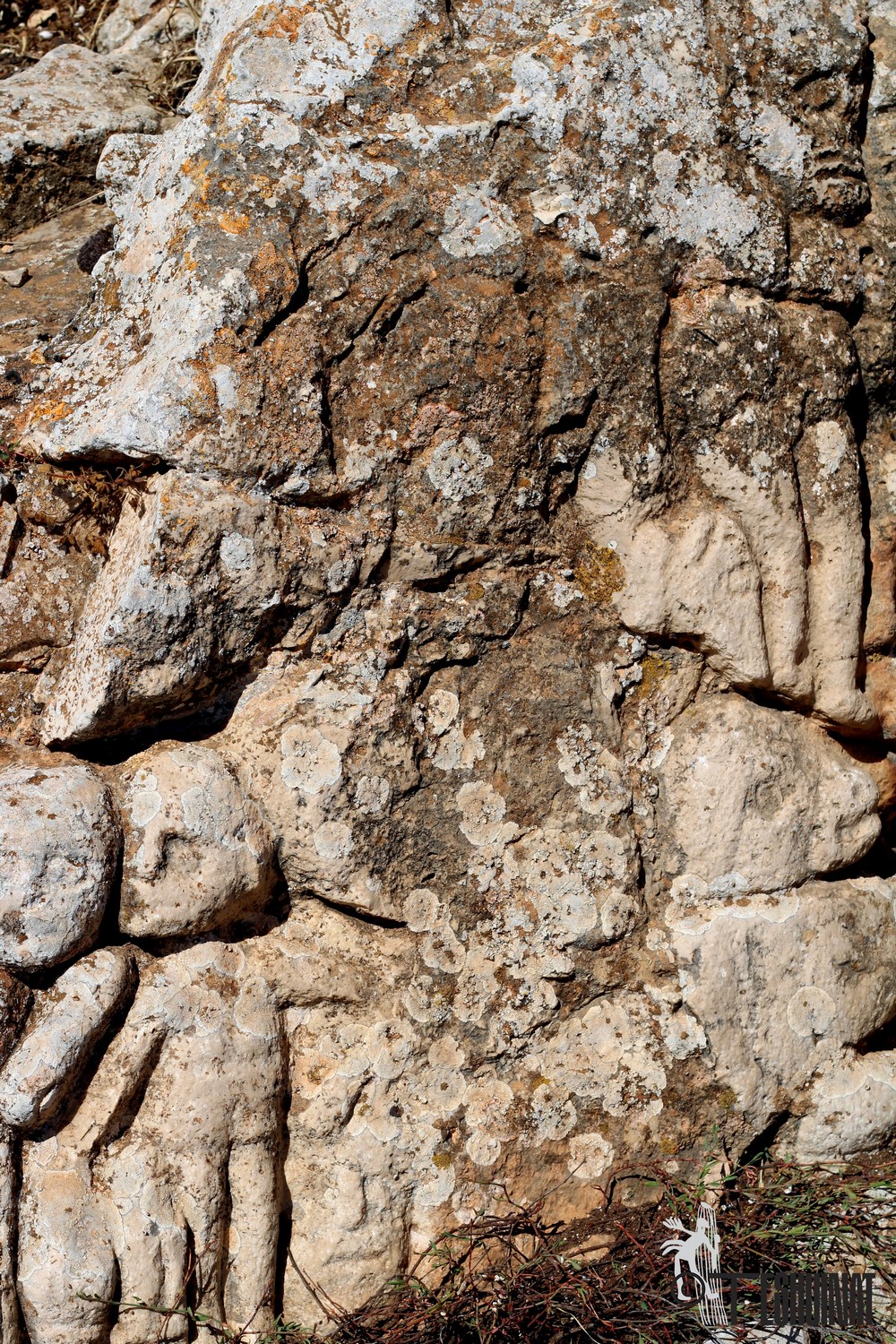
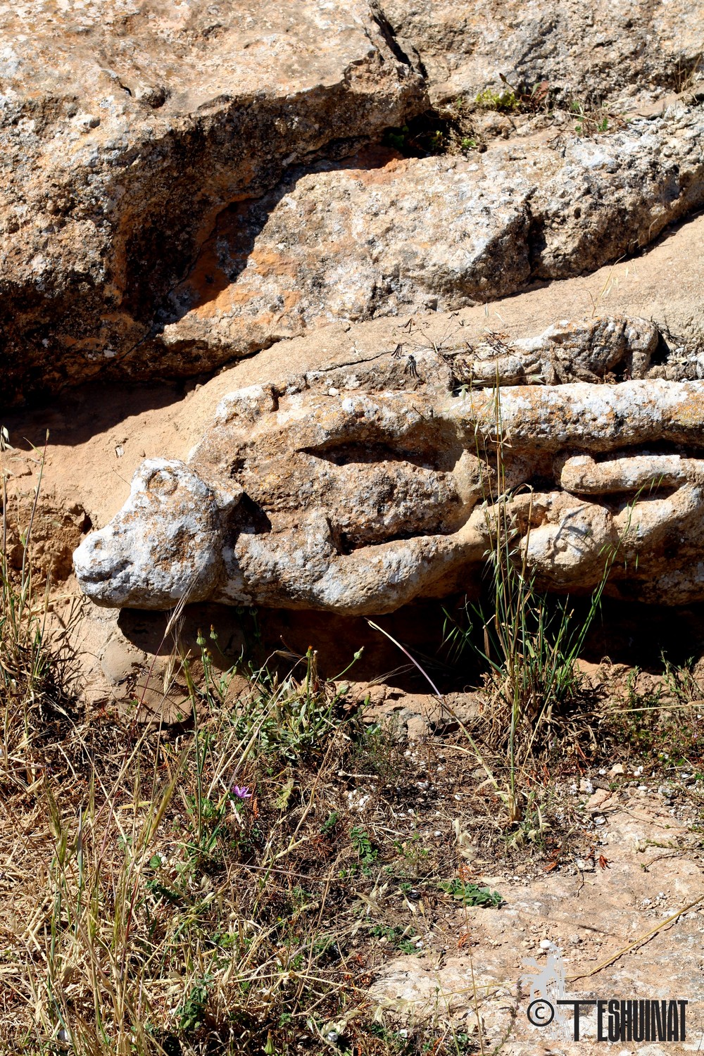
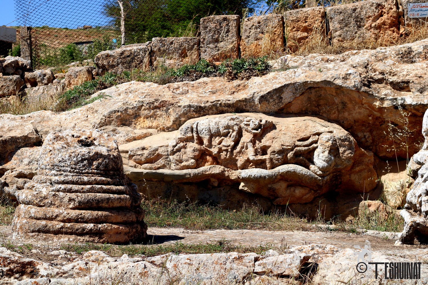
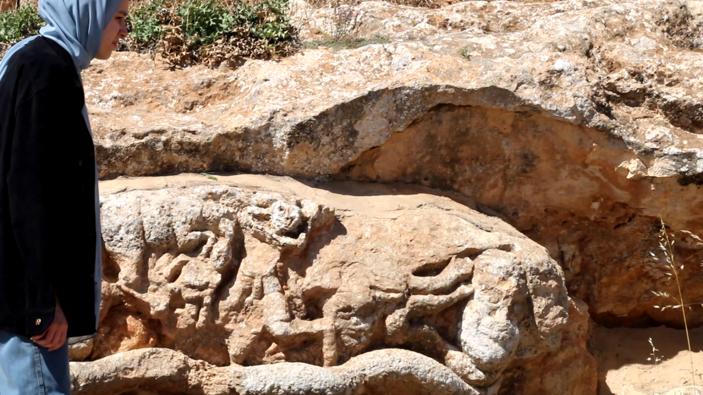
Slonta temple
In Slonta, stone turns into a document, and the cave transforms into an inhabited time. The ancient name continues its walk across maps; it does not disappear but transmutes, just as the use of the rock changes without losing its primary function: to be a shelter for both humans and history. In Slonta, the margin becomes central, and the village becomes a geological-temporal knot: a cave inhabited by a name, a name inhabited by a people, and a people who knew how to dwell within the rocks.
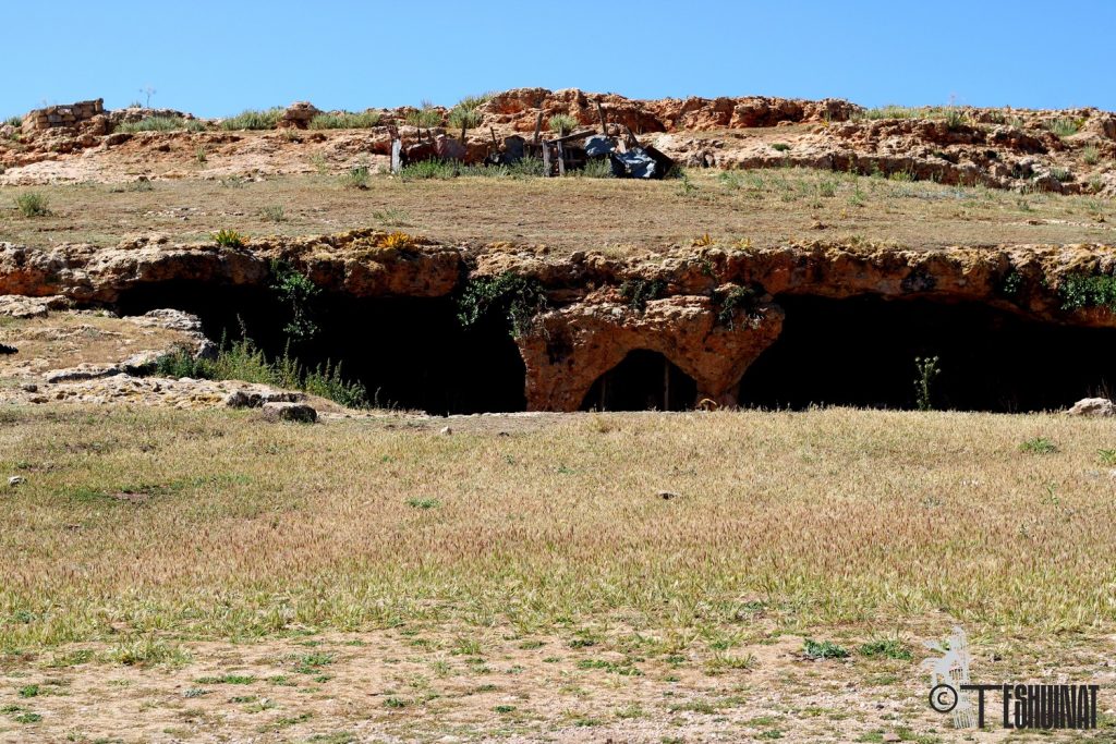

The village of Slonta is located in one of the valleys of the Green Mountain (Al-Jabal Al-Akhdar), at an elevation of approximately 769 meters above sea level, within the southwestern domain of the city of Shahat (Cyrene). The village forms a connecting link between several mountain villages, lying about 38 km from Shahat and 27 km south of the city of Al-Bayda. It can be reached via main roads or internal paths that cut through the mountain.
Slonta occupies the area between the villages of Sidi Al-Hamri and Qandula, within a mountainous valley environment that reflects the topographic character of the Green Mountain. Astronomically, it is located at latitude 32° 35′33″ N and longitude 21° 42′51″ E.